Washington City Utah | (435) 656-6300
letusknow@washingtoncity.org
111 North 100 East | Washington, Utah 84780 [map]
© 2025 Washington City Corporation. All rights reserved.
Privacy Policy
GIS (Geographic Information System)
Washington City's GIS Department maintains a complex Geographical Information System for use by city officials.
Much of this data is available for use by the public in a general form. Although the data is very accurate, accuracy is not given a warranty.
Map Gallery:
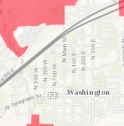
Annexation Plan for Washington City
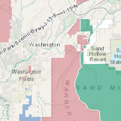
[Click for Map]
[Click for Map]
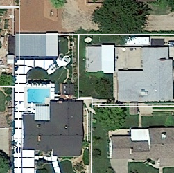
Cemetery Map for Washington Utah
 Map of Cemetery Plots, including names if occupied.
[Click for Map]
Map of Cemetery Plots, including names if occupied.[Click for Map]
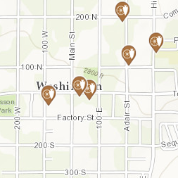
Facilities in Washington City
[Click for Map]
[Click for Map]
FEMA 100 Year Flood Zones
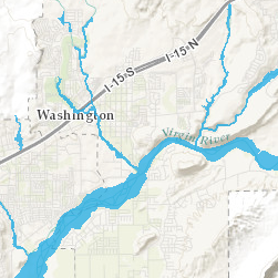 Flood Insurance Rate Map (FIRM) data important for floodplain management, mitigation, and insurance activities for the National Flood Insurance Program (NFIP).
[Click for Map]
Flood Insurance Rate Map (FIRM) data important for floodplain management, mitigation, and insurance activities for the National Flood Insurance Program (NFIP).[Click for Map]
Firework Restriction Zones
[Click for Map]
[Click for Map]
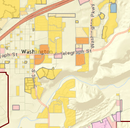
General Plan Map for Washington City
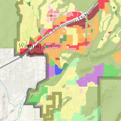 General Land Use Plan for Washington City, Utah
[Click for Map]
General Land Use Plan for Washington City, Utah[Click for Map]
Green Spring Golf Course
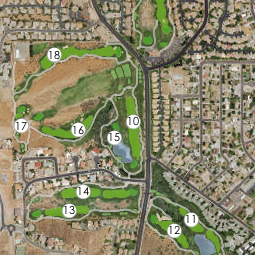 Green Spring Golf Course in Washington, Utah
[Click for Map]
Green Spring Golf Course in Washington, Utah[Click for Map]
Hillside Protection Zones
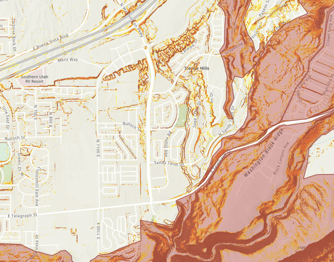 Hillside Protection Zones in Washington City, Utah
[Click for Map]
Hillside Protection Zones in Washington City, Utah[Click for Map]
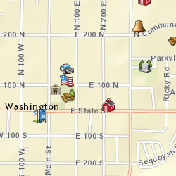
Historical Sites in Washington City
[Click for Map]
[Click for Map]
Parcels for Washington City
[Click for Map]
[Click for Map]
Parks & Recreation Master Plan
 Map exhibit of Parks and Recreation Masterplan
[Click for Map]
Map exhibit of Parks and Recreation Masterplan[Click for Map]
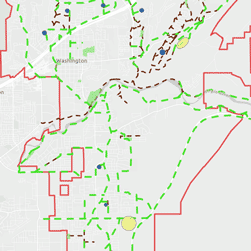
Parks and Trails Finder

[Click for Map]
[Click for Map]
Soil Survey Map
 Soil Survey Geographic (SSURGO) by the United States Department of Agriculture?s Natural Resources Conservation Service
[Click for Map]
Soil Survey Geographic (SSURGO) by the United States Department of Agriculture?s Natural Resources Conservation Service[Click for Map]
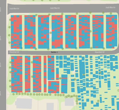
Subdivisions in Washington Utah
[Click for Map]
[Click for Map]
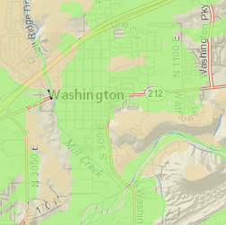
Traffic Counts
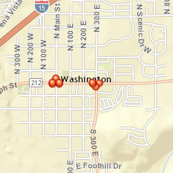
[Click for Map]
[Click for Map]
Trail Elevation Map
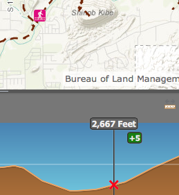
[Click for Map]
[Click for Map]
Transportation Master Plan Map
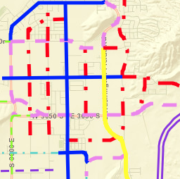 Transportation Master Plan for Washington City, UT
[Click for Map]
[Click for Map]
USA Topo Maps
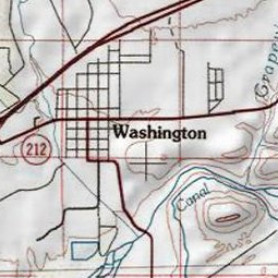 Features detailed USGS topographic maps for the United States at 1:250k, 1:100k, and 1:24k scale levels.
[Click for Map]
Features detailed USGS topographic maps for the United States at 1:250k, 1:100k, and 1:24k scale levels.[Click for Map]
USA Weather Warnings
 Features the NOAA/National Weather Service current weather warnings/watches for the USA provided as a map service by the USGS Natural Hazards Support System (NHSS).
[Click for Map]
Features the NOAA/National Weather Service current weather warnings/watches for the USA provided as a map service by the USGS Natural Hazards Support System (NHSS).[Click for Map]
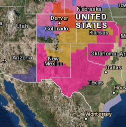
USGS Natural Hazards
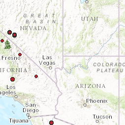 Information about current natural hazards events occurring around the world. It contains data from a variety of public data sources.
[Click for Map]
Information about current natural hazards events occurring around the world. It contains data from a variety of public data sources.[Click for Map]
Washington City Map Viewer
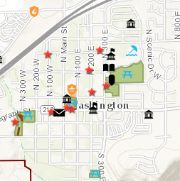
[Click for Map]
[Click for Map]
Zoning Districts for Washington Utah
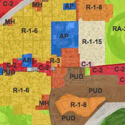 Generalized Zoning Coverage for Washington City, Utah
[Click for Map]
Generalized Zoning Coverage for Washington City, Utah[Click for Map]
Choose from the available downloads below or printouts are available for purchase at the city office.
Available maps in Adobe PDF format:
Fire Restriction Zones - (pdf 2 MB) [view in browser]
General Plan Map - (pdf 4.4 MB) [view in browser]
Hillside Protection Zone - (pdf 2.1 MB) [view in browser]
Parade Route - (pdf 1.1 MB) [view in browser]
Parks Map - (pdf 1.9 MB) [view in browser]
Road Atlas - (pdf 8.2 MB) [view in browser]
Street Basemap - (pdf 10.2 MB) [view in browser]
Street Map - (pdf 6.2 MB) [view in browser]
Subdivisions - (pdf 4.9 MB) [view in browser]
Trails Map - (pdf 3.8 MB) [view in browser]
Transportation Master Plan - (pdf 2.7 MB) [view in browser]
Voting Districts - (pdf 1.3 MB) [view in browser]
Zoning Map - (pdf 4.3 MB) [view in browser]
The following maps require the free Google Earth software available at earth.google.com.
Available Google Earth maps:
City Limits (kmz file)
General Plan & Transportation Plan (kmz file)
USGS Realtime Earthquakes (kmz file)
Street Map (kmz file)
Subdivisions (kmz file)
Washington County Golf Courses (kmz file)
Zoning Districts (kmz file)
Disclaimer: The City assumes no legal responsibility for the use of the information shown on these maps.
The following maps are available for purchase at the city office:
Map Pricing
|
Map Type
|
Size | Price | W/ Aerials |
|---|---|---|---|
|
Streets
|
24 x 36 | $15.00 | +$10.00 |
|
Subdivisions or Zoning
|
24 x 36 | $15.00 | +$10.00 |
|
Streets
|
36 x 48 | $25.00 | +$10.00 |
|
Subdivisions, or Zoning
|
36 x 48 | $25.00 | +$10.00 |
Links:
Local GIS-Related Sites:
Washington County GIS Information
Utah Automated Geographic Reference Center
Utah Maps
Other good GIS Sites:
ESRI - Environmental Systems Research Institute - GIS Software
GIS.com - Good Introduction to GIS... and a good site for data.
To contact the GIS staff, email dsimper@washingtoncity.org


Latest on Instagram: